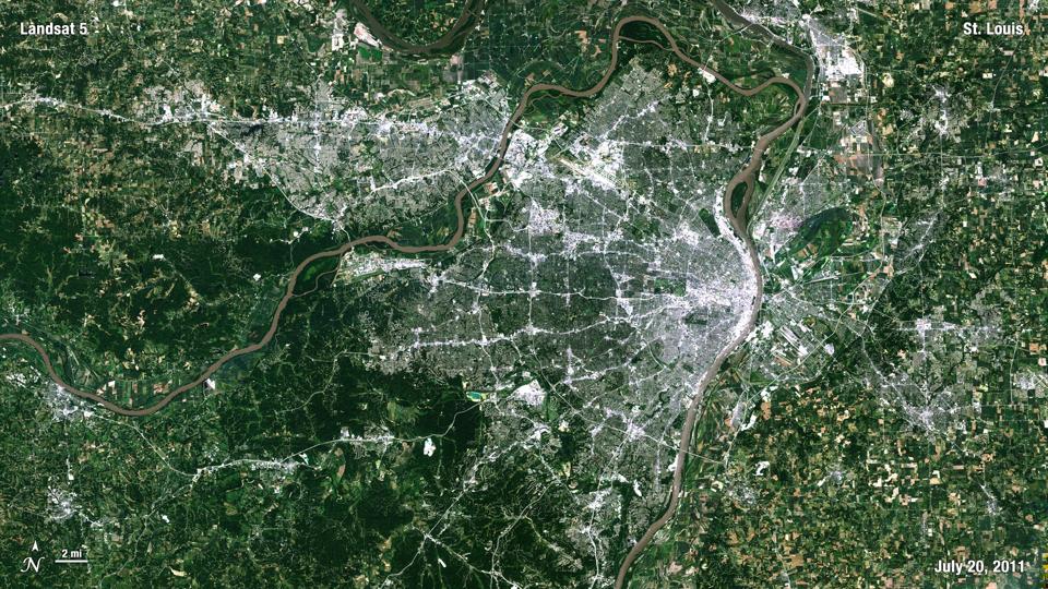
Media outlets confirmed that, as of the time of writing, two tornadoes touched down in the St. Louis metropolitan area Friday afternoon. According to the NBC affiliate KSDK website, “Meteorologists confirmed that a tornado touched down in Clayton at around 2:45 p.m. and another touched down northeast of Des Arc at around 3 p.m.” St. Louis and portions of the region were under a tornado warning until 3:15 p.m. local time. With the National Weather Service facing understaffing, reduction in services, and low morale, this storm system is a vivid reminder of their life-saving mission.
As damage reports and pictures start to shed light on the situation, startling images from a webcam in the St. Louis Arch and personal phones signaled the dire conditions facing one of the nation’s most populated cities. According to the Weather Channel, radar signatures indicate that the tornado may have been EF2 to EF3 on the Enhanced Fujita Scale, but we will not confirm such estimates until a tornado survey is conducted by the National Weather Service.
The National Weather Service will be involved in the post-storm assessment, and they provided warning of storm potential Friday morning before the storms too. At 6:29 a.m. local time, NWS forecasters wrote, “Severe thunderstorms are expected to develop along or just ahead of a cold front this afternoon. Hail in excess of 2 inches in diameter and damaging winds in excess of 80 mph are the primary threats. A few tornadoes are also possible. If tornadoes do develop, they could be strong.” The Storm Prediction Center also had the area under a Moderate Risk (4 out of 5).
Even as I write this on Friday evening, the region just to the east and south of St. Louis are dealing with tornadic storms. How do I know? I am looking at National Weather Service Doppler radar images and analyzing data that comes from their weather forecast models too. A cold front sprawled across the region is serving as a trigger for the storms, and conditions (moisture, instability, and shear) are optimal for large hail or tornadoes.
Throughout this discussion, I have mentioned the role of the National Weather Service. My mind was racing with worst-case scenarios if they didn’t exist. The greater St. Louis region has a population of roughly 2.8 million people. Like many urban areas, that population is densely populated. The layers of warning from the National Weather Service (severe weather outlooks, tornado watches, and Doppler radar-indicated tornado warnings) probably saved lives as a tornado moved through the region.
To be clear, lives in rural spaces matter equally to those in urban spaces. I make this point because there is often an urban bias in how weather hazards are covered. My point here is that a city like St. Louis and a large tornado are a particularly bad mix given the sheer number of people, infrastructure, and the density. On top of that, this storm happened as the Friday rush hour was likely beginning. Additionally, we are constantly swatting down the myth that tornadoes do not strike large cities. There is plenty of evidence to refute that claim and as researchers at Northern Illinois University remind us, the urban “footprint” continues to grow, which means a larger bullseye.
The National Weather Service is struggling to fill over 150 vacancies, and they cannot hire anyone. NBC News reported that approximately 40% of the nation’s forecast offices are facing some type of shortage. A colleague made a great point today. We must not forget what the “S” in NWS stands for – Service. Whether you are in a rural community or a big city, their service is unwavering when they have the appropriate resources.
No your app can’t replace them. Your app depends on their service too.

