

Topline
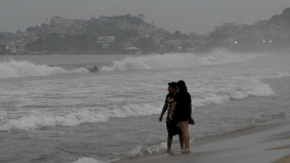
Hurricane Otis made landfall near the resort city of Acapulco, Mexico as a potentially dangerous Category 5 storm early Wednesday, just weeks after Mexico’s Pacific coast was struck by the Category 4 Hurricane Lidia.
Key Facts
The hurricane made landfall just after midnight local time, with maximum sustained wind speeds of 165 mph, the U.S. National Hurricane Center said.
The Mexican Civil Protection Authority (CNPC) reported wind gusts as high as 205 mph (330 kph) from the storm and warned that the risk from the hurricane has not yet passed.
In an earlier update, the NHC warned that the hurricane was likely to cause “catastrophic damage” near the shoreline, as it brings “extremely destructive winds” and “large and destructive waves” near the coast.
The hurricane is expected to bring more than 10 inches (250 mm) of rainfall across the state of Guerrero along with dangerous waves as high as 32 feet (10 meters) along the coast, Mexico’s National Meteorological Service said.
Crucial Quote
Earlier on Tuesday evening, Guerrero Governor Evelyn Salgado Pineda said state officials were “attentive and prepared with our protocols.” After landfall, she urged the state’s residents to “Take shelter in safe places, follow official indications and let’s take care of our loved ones.”
Big Number
165 mph. The maximum sustained wind speeds reported from Otis after landfall, which are higher than the 157 mph threshold for a Category 5 major hurricane on the Saffir-Simpson Hurricane Wind Scale. According to the NHC, a category 5 storm can cause “catastrophic damage” to a “high percentage of framed homes” and power outages that may last “weeks to possibly months.”
This is a developing story.